On the Trails · Battlefields
Chancellorsville History Loop
Moderate
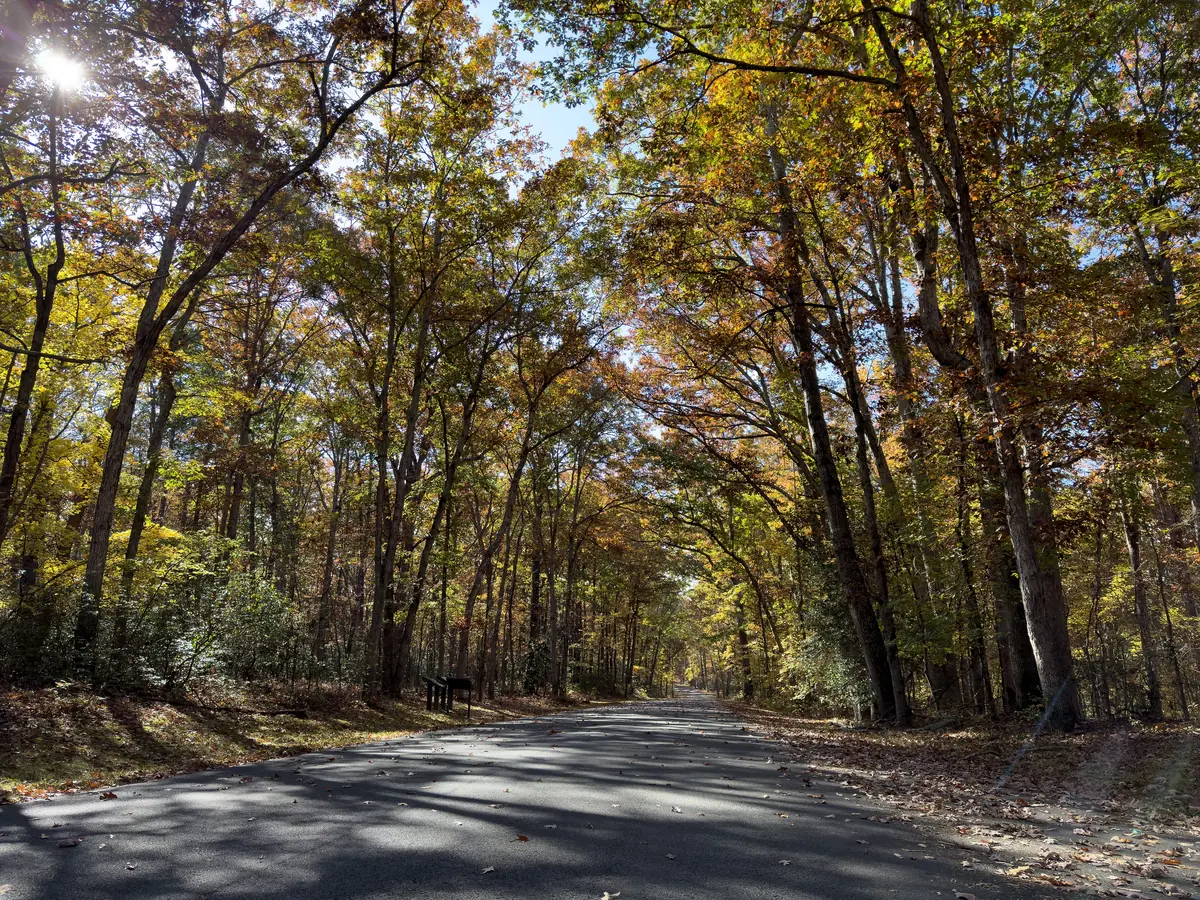
A wooded loop through the ground where the 1863 battle turned — go slow and read the markers.
Tracing the trails…
Trail line © OpenStreetMap contributors (ODbL)
- Distance
- 3.1 mi
- Shape
- Loop
- Surface
- Natural
- Where
- Battlefields
- Dogs
- Leashed
The good stuff
- Loops the core of the Chancellorsville battlefield
- Start at the visitor center
Before you go
- Open sunrise to sunset
- Some unmarked footing in the woods
Trailhead
Chancellorsville Battlefield Visitor Center
Open in map ↗ (38.3115, -77.6490)Sources
- OpenStreetMap contributors · ODbL
- Fredericksburg & Spotsylvania NMP (NPS) · Public domain
Trail conditions, hours, and access change. Distances and difficulty are estimates from map data — check the managing agency before you head out.